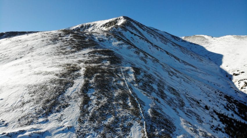
Mt Elbert Colorado 14er Hike Trail Guide
Mt Elbert is the highest mountain in the state of Colorado at 14,439 feet. Located right outside of Leadville, Colorado, this mountain is a popular spot with locals and visitors to Colorado. The trail to the summit is a little over 9 miles, but don’t let the distance fool you. Before you gain the top of Mt Elbert you will gain over 4,500 feet of elevation. The trail to the summit is all Class 1 and is mostly made of packed dirt. Due to its popularity, the trail conditions can be poor in spots, especially towards the final summit push.
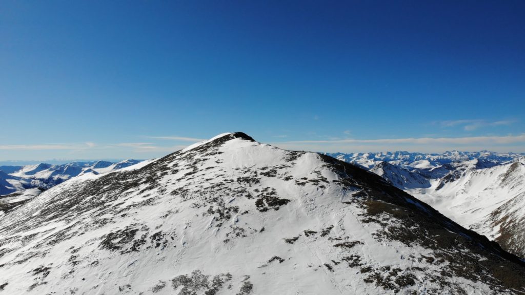
Mt Elbert Quick Facts
Virtual Trail Guide: Mt Elbert
Mt Elbert Peak Trail Rating: ★★★ (3/5 Stars)
Distance: 9.46 miles RT
Elevation Start: 10,053 ft
Summit: 14,439 ft
Total Elevation Gain: 4,400 ft
Estimated Time to Complete: 4-5 Hours RT
Difficulty: Moderate/Difficult What does this mean?
Class: Class 1
Season: July – October (Expect snow and road closures outside of this period)
Directions to Mt Elbert
Trailhead: Halfmoon trailhead
Getting Here: From the town of Leadville, Colorado take US 24 past the gas station. Take your next right after the gas station to turn onto Colorado 300 and cross the old train tracks. About a 1/4 mile later, turn left onto CR11/Halfmoon Road. Continue on Halfmoon Road and follow signage towards Halfmoon Campground and Mt Elbert. The last 5 miles to the trailhead starts out paved, but eventually turns into dirt. This road is narrow, but fairly well maintained so any car should have no issue getting to the parking area. Note: If you plan on traveling this road from December through May, be prepared to encounter large amounts of snow and potentially road closures. You can enter Mt Elbert Trailhead parking into your favorite navigational device.
Parking: Free parking is available at the base of the trailhead. The lot is large and depending on how people park, probably can fit about 50 cars. The parking area does have a men’s and women’s non-plumbing bathroom. Mt Elbert is a very popular peak in Colorado due to its significance in relation to Colorado mountains (tallest) and the United States (2nd tallest in continental US). Expect large crowds on most summer days.
Summary
Mt Elbert Camping: Mt Elbert offers a wide variety of camping opportunities. Although camping is not allowed at the trailhead, there is a campground (Half Moon) in addition to plenty of spots along road CR11/Halfmoon Road. It should be said that the spots along said road are not very private. Camping spots do fill up quickly, especially during the summer. This area can get loud and is not a private or secluded traditional camping experience if that is what you are looking for.
Dogs: Dogs are allowed on Mt Elbert but should be kept on a leash. There are a few spots that could be tricky with a dog that pulls (especially if trail conditions are poor), but overall this is a great Class 1 hike suitable for dogs with mountain experience. The trail is mostly packed dirt so there is no need to worry about bloody paws.
Make it a Loop: Mt Elbert is an out and back hike. However, if you are looking to pair another hike in the area, Mt Massive is right down the road.
Trail X Factors: Trail Grade
When hiking the tallest mountain in Colorado, one would expect a technical hike with lots of tough sections. That is not the case for Mt Elbert, but hikers should expect immediate and nearly constant elevation gain from start to finish. The trail gives you no warm up, gaining 500+ feet in the first mile or so.
Hike Tip(s): Pace yourself. I know it’s a short hike to the summit and you may have the urge to fly through the first couple of miles and say “hey, this is really easy.” However, the last two miles before the summit gain over 2,000 feet of elevation with the steepest section of the hike coming around 3.5 miles. Elevation mark 13,200 – 13,800 contain the highest grades of hiking with the worst trail conditions. These 600 feet will really suck. However, once you are above 13,800, the trail levels off and the remaining 600 feet of elevation gain come relatively steadily. Don’t underestimate Mt Elbert because others tell you it is an easy peak.
Best Views: While hiking Mt Elbert, your best views will be once you get above treeline. I really like looking back towards the east and towards the north to Mt Massive while gaining the ridge. Once up high, my favorite views are west towards the Elk Mountains and south to the San Juan’s and Sangre de Cristo Range. If you hike in the fall, this is a nice spot to enjoy the golden aspen trees.
Mt Elbert Hike Route
Gear Needed
- 14er Day Hike Packing List
- Men’s Trail Runners
- Women’s Trail Runners
- La Sportiva Trango Hiking Boots (Men’s)
- La Sportiva Trango Hiking Booths (Women’s)
- Backpack
- Food & Water
- Optional: Garmin inReach
- Optional: Hiking Poles
- Optional: Headlamp
- Optional: Garmin Fenix Watch
- *Links included in this description might be affiliate links. If you purchase a product or service with the links that I provide I may receive a small commission. There is no additional charge to you.
My Trip to Mt Elbert: October 2016
Generally when October hits, I start to put away my hiking boots and break out the winter gear. However, the fall of 2016 was very warm and I found myself staring at the last weekend of October and telling myself, I should try to get another “14er” in this year. So I did.
Mt Elbert had been on my hiking “to-do” list for a while and I had even planned to climb it earlier in the summer. After talking with a lot of people about Mt Elbert, they informed me it was a pretty easy peak and I would have no problem with it.
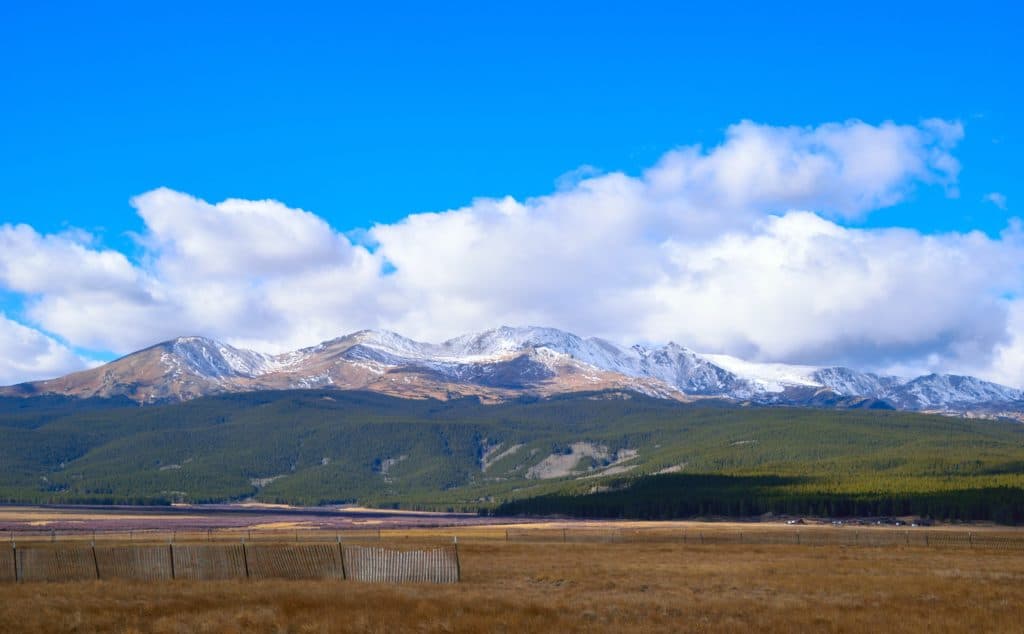
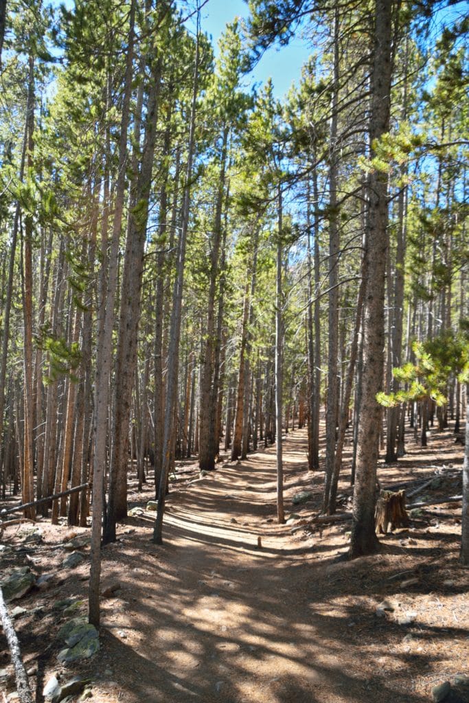
I told Jackie that Juno I were going to hike Mt Elbert and that we would be back by 4PM. We arrived to the trailhead around 11AM on a Saturday morning and I was one of 10 or 12 cars in the parking lot. This was the first sign that my timing for the hike was great. I hit the trailhead bathroom, packed up my bag, “leashed up” Juno and we hit the trail. The first couple of miles slowly zig zagged through the forests that covered the base of Mt Elbert. We crossed the Colorado trail a few times along the way, which made me think about how I would love to hike that whole trail someday. After hiking for 1.5 miles or so, the once flat trail, finally started to pick up some elevation. What worried me, was the lack of elevation gain. Generally when you have a short hike that starts off flat, you are going to be paying for that lack of elevation when you get up towards the summit.
After climbing a couple of hills and passing a few groups of people, we finally started to break tree line. The first view of the false summit reminded me how close Mt Elbert was, yet how much elevation we still needed to gain.Once we broke treeline, Juno and I enjoyed a quick snack and water break. Juno was thrilled at the chilly fall weather and I was not minding it myself. We were used to 70+ degree temperatures back home, so it was nice to feel a chill in the air finally.
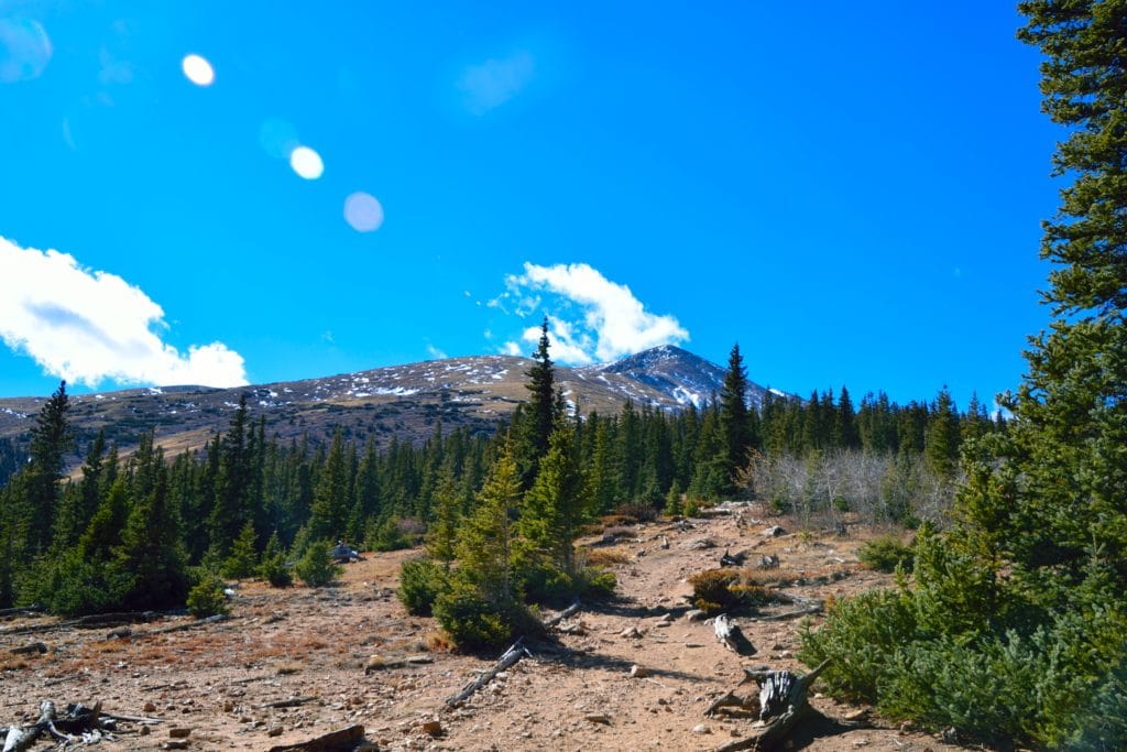
The trail above the treeline steadily gained elevation as it switch-backed up the east slopes of Mt Elbert. The trail was almost all dirt and although there was some snow in the area, it was pretty irrelevant to our hiking efforts to this point. We continued to hike up the trail and based on the elevation reading my watch was giving me, I knew there had to be a big gain soon.
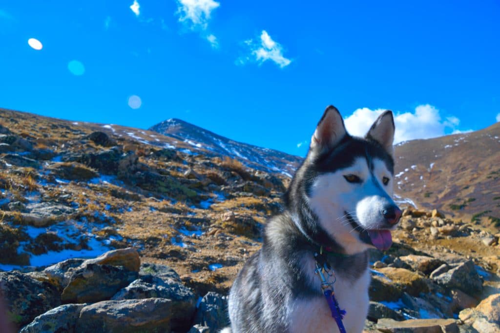
As we rounded another bend of the trail, I soon saw what I was dreading. The trail appeared to go straight up the shoulder of this false summit and I knew that it was not going to be fun. 13,200 feet to 13,800 of Mt Elbert were flat out awful. The trail was a bit snowy and icy, had extremely poor conditions (loose dirt and rocks) and was very steep. When Juno started slipping on the trail, I knew that I had to be careful of my footing. I was wearing my winter boots which have slightly better grip, but nothing compared to her keratin claws.
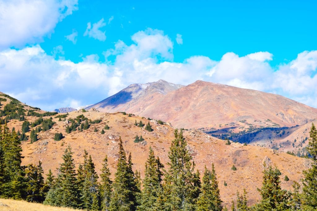
Eventually we pushed through this tough section of trail and found ourselves in another field just below the summit. I could see that the trail lead up to another ridge, but I still could not see the summit of Mt Elbert. We passed a couple of hikers at this point and I asked them how the summit was. They answered in on word, “windy.” Joy.
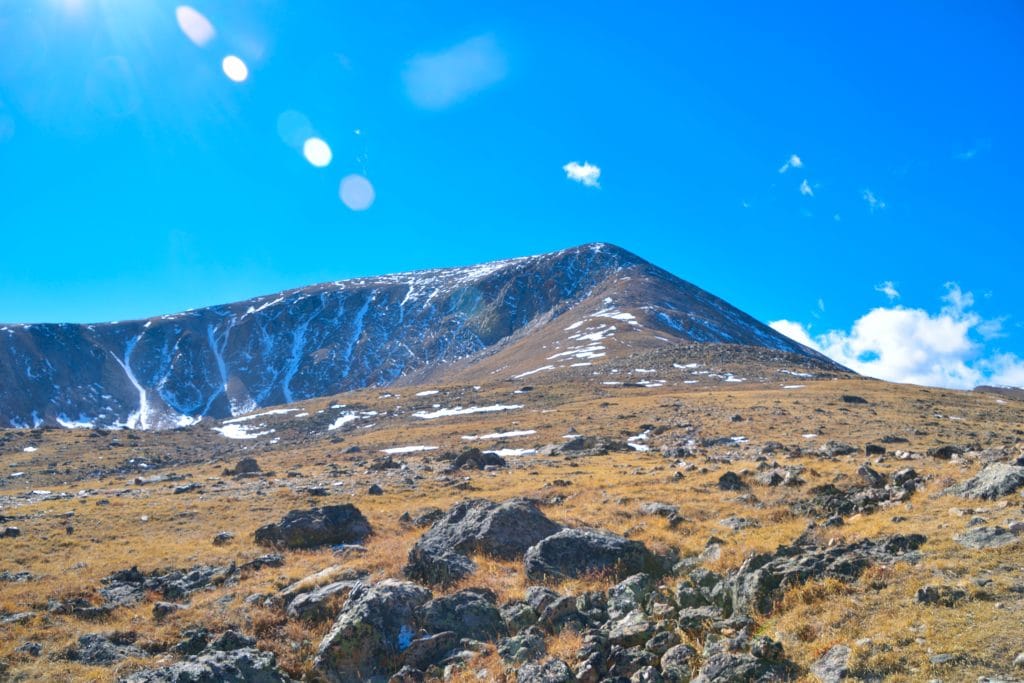
A few minutes later we reached the top of this ridge and I could see the summit of Mt Elbert just a few hundred yards away. When we did hike over the final stretch of the hill, the brisk fall wind seemed to smack me in the face as if to say, “SUMMER IS OVER BUDDY!”
Juno and I reached the summit of Mt Elbert around 2:30PM (3.5 hours) and had the small summit completely to ourselves. The views were okay, but certainly not in my top 10 of the mountains I have climbed in Colorado. I was a bit disappointed, but knew that due to its location (right next to Leadville), I was probably expecting too much.
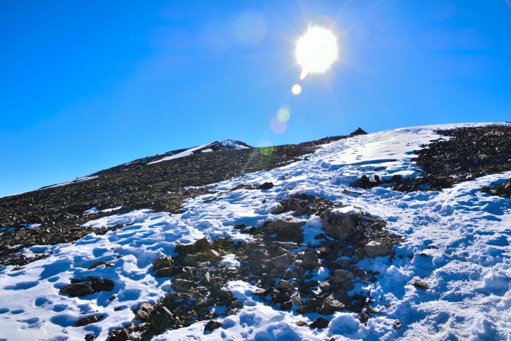
If the views were poor, the wind was worse. It was so bad that when I tried to change my GoPro battery, the camera blew right into my hands and wedged itself into some rocks. After recovering the small device, I tried turning the damn thing on multiple times because it kept dying (the things I do for my readers!). Eventually I was able to get the camera on just long enough to film some final thoughts and show the summit views. After, Juno and I booked it off the summit of Mt Elbert.
I did feel bad because I did not give Juno her usual summit treat (beef jerky), so I decided to stop on the way down once we got out of the wind. For whatever stupid reason, we decided to stop and take a break in the aforementioned steep part of the mountain on the way down. I needed some fuel and knew that this hike had taken way more out of me than I had expected.
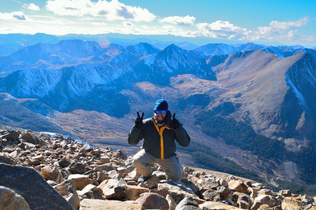
Around 6PM, we reached the car and I had a bunch of texts from Jackie worrying her way into an ulcer. I called her to explain that the trail was very icy & steep but we were safe and on our way home. Juno and I had climbed another “14er” (my 21st and Juno’s 7th-not bad for a dog) and I would be lying to say it was not sweet to know I could say “We climbed the highest mountain in Colorado and the 2nd highest in the continental US.” I knew full well that Mt Elbert was only a Class 1 hike and was very short compared to other hikes, but hey sometimes you gotta soak in your achievements.
Mt Elbert was an okay hike, but honestly it was not one of my favorites. I would recommend this peak for those looking for the bucket list item or accomplishment. However, from a hiking standpoint, I would look elsewhere for more beautiful or challenging hikes.

10 thoughts on “Mt Elbert Colorado 14er Hike Trail Guide”
Great post!
“I was a bit disappointed, but knew that due to its location (right next to Leadville), I was probably expecting too much.”
What is it about the Leadville area that leads to less than average views for 14ers? I’ve also read that Mount Sherman doesn’t have great views for a 14er and since that’s on the other side of Leadville I’m wondering if it’s related.
I haven’t been to this area of Colorado but hope to soon.
Thanks!
Hey Mickey, been watching a lot of your YouTube vids and you’ve inspired me to give this a shot next month on my vacation to Colorado. I’ve been preparing a lot physically for it but not sure what I can do to prepare for the acclimitization. Any advice? Thanks!
Hey Nick – not really any way to prepare besides being in high altitude. Your best bet is to arrive to town a few days prior to your hike to let your body get used to the air. Perhaps try a smaller hike in the area before going up Elbert and make sure you stay very well hydrated. That is the cause of so many people’s failure to properly deal with the altitude. Best of luck!
I will double the above reply – coming from Dallas Texas, I did not really have any true way to acclimatize other than camping at the base the day before.
Watched the VS video multiple times, printed the guide, summited last July in near perfect weather. take-aways:
* keep that false summit in mind!! Even knowing about it, getting to the “top” only have more to go can break you if you aren’t ready and are close to your limits!
* water > food!! I brought a 3L camelbak, and I had almost emptied it about 2/3 of the way up! barely touched any food going up or coming down either. Some dried fruit, couple candy bars and a couple slim jims is really all I should have taken. LOL over prepared like crazy!
* a friend who lives in Breck gave me one of those Boost air canisters. I rolled my eyes a bit but indulged them (I’ve read into thin air, this isn’t everest) but man am I glad I had it. I did not really NEED it, but coming down, my legs were absolute jello, and mind kind of wandered a bit more than it should when climbing down!! It was a nice little “pick me up” just to help get me back to the tree line.
VS- thank you so much for all your hard work!! Got the hat for Christmas, can’t wait to get a picture on top of Massive with it!
Appreciate all the feedback, agree with all of it and thanks for supporting through the hat! Good luck with Massive.
Hello I have really enjoyed your videos.. I just finished Mt Elbert via the black cloud route.. I was wondering if you have ever done this route to Summit.. it was my first 14ner and one where the trail is a bit relative.. I am not sure if it was the altitude or what happened but I ended up on the rt of the ridge line coming down and in a bit of a tight spot with scrambling on my way down.. any tips on how to avoid route mistakes like this.. I would like to try it again next summer.. definitely not ready for anything harder.. I believe it’s a class 2..
I haven’t done that route (funny enough, its the only main route up Elbert I have not yet done). I would recommend having a GPS track to follow on your phone, watch, inreach etc. and in general, just stopping to take a look around you when you are hiking down. I have been in the same spot before because you sort of stop thinking and paying attention to what’s around you – especially on routes like that which are not as popular. Its very easy to get off route and sometimes even end up in a dangerous situation, but glad it worked out for you. The more research you can do about a hike beforehand, the better so that you have pictures/video etc. to refer to so that you don’t get off route.
Yeah I was so focused on where to put my feet that I forgot to take a look at the big picture..thanks for getting back with me and your videos have been awesome!
Mickey,
Love your videos and site for info. I am heading to Colorado for a week at the end of June and into July. I plan to spend a day in Colorado Springs before hiking PP to Barr Camp for a night; trying to get the lungs/blood adjusted to altitude before heading to Leadville for a day; camping at Elbert Creek Campground. The hope is to find a spot for a couple of nights to allow hiking of both Elbert and Massive. How busy do you think that campground will be on Friday June 30th? Also, what do you wear/carry for pant’s on cold windy days?
Hey Marty – sounds like a good plan. I would also say that just camping up near Leadville should help you acclimate as the elevation there is 10k. I usually wear just standard hiking pants from REI/Columbia with a zipoff option since I almost never wear pants during the summer months. Campground should be fairly busy but there are lots of other dispersed camping areas up there. My advice would be to snag a spot early on Friday as the weekend crowd usually causes the most use in these areas. Best of luck