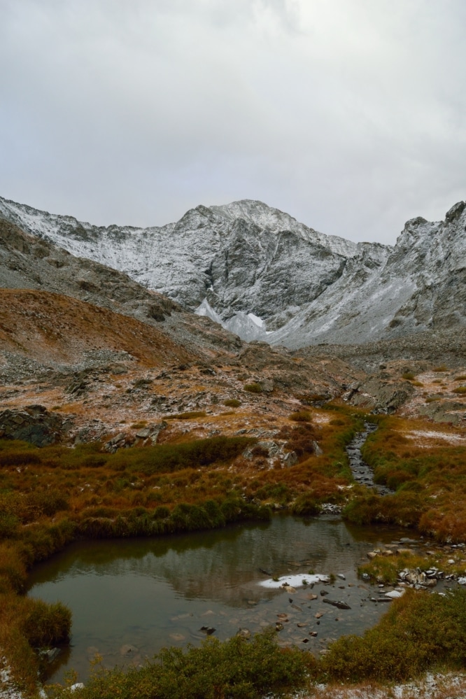
Ellingwood Point & Blanca Peak 14er Hike Guide
Ellingwood Point & Blanca Peak are a pair of 14ers located in southern Colorado. Typically hiked together from the Lake Como side, this alternative route from Zapata Lake saves you a boring hike up the 4WD Lake Como road and has far less people. This route up Ellingwood Point & Blanca Peak is a bit shorter than Lake Como approach as well. However, this hike is not easy and involves lots of elevation gain. This is a class 3 route and has a few different options to reach the ridge depending on the season.
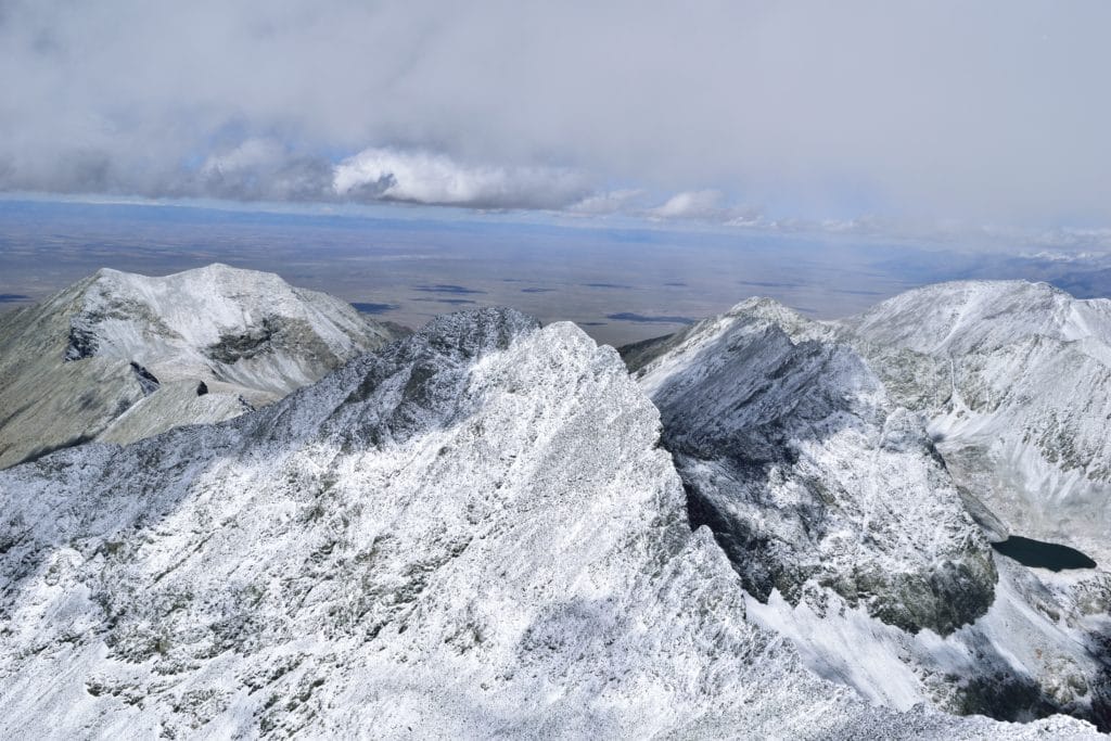
Ellingwood Point & Blanca Peak Quick Facts
Virtual Trail Guide: Ellingwood Point & Blanca Peak
Ellingwood Point Rating: ★★★ (3/5 Stars)
Blanca Peak Rating: ★★★ (⅗ Stars)
Distance: 15.3 miles RT
Elevation Start: 9,089 ft
Ellingwood Point Elevation: 14,042 ft
Blanca Peak Elevation: 14,344 ft
Total Elevation Gain: 7,205 ft
Estimated Time to Complete: 12-14 hours RT
Difficulty: Strenuous What does this mean?
Class: Class 3 – What does this mean?
Season: July – September (expect snow outside of this period)
Directions to Ellingwood Point & Blanca Peak
Trailhead: South Zapata Creek
Getting Here: There are a variety of ways to get to Ellingwood Point & Blanca Peak. Your best bet would be to plug your starting location into Google Maps or your favorite navigational device with an end destination of Zapata Falls. One thing to note, once you turn on to the Zapata Falls road (dirt), you are about 4 miles from the TH. These 4 miles are a bit rough and some lower clearance cars may have a tough time in sections. However, in general this road is doable for most vehicles. ‘
Fee: None
Parking: Parking for Ellingwood Point & Blanca Peak is shared with Zapata Falls and South Zapata Lake, so expect other cars year round. However, the lot is free and can fit about 20-30 cars. In the summer, this lot will absolutely fill up on weekends, so try to get to the parking area earlier or later in the day. There is a non-plumbing bathroom at the trailhead in addition to a doggy poop bag dispenser.
Summary
Dogs: This hike is tricky for dogs and I think the answer depends on the dog you have. If your dog pulls or must be on the leash, it’s probably best to leave them at home while hiking Ellingwood Point & Blanca Peak. However, if you have a dog thats comfortable in rock scrambles or jumping up spots on a hike, especially off leash, this hike is doable.
Camping: The most popular option to camp near Ellingwood Point & Blanca Peak would be to camp at the official Zapata Falls campground (located about 500 yards from the trailhead – $9 fee, does not accept reservations). This campground will fill up, even in winter months (there are are only about 20 official spots to camp). If that area is full, you could also camp at Great Sand Dunes National Park Pinon Flats campground which is open from April-October each year. During the winter, the campground inside the park is closed so you will have to seek alternative options. If you want to hike in a bit, your best bet would be to camp around the 3 mile mark when the land flattens out a bit. If you want to camp near the lake, you can do that…but honestly, the options are not stellar.
Make it a Loop: Ellingwood Point & Blanca Peak are an out and back hike. However, you can easily add other hikes in the area: Little Bear Peak, Zapata Falls, Great Sand Dunes National Park or South Zapata Lake.
Trail X Factors: Hiking 2 14ers, but Really 3
Hey, do you like elevation gain? Boy, do I have the hike for you. Although you are only summiting two mountains (Ellingwood Point & Blanca Peak), in reality, you are hiking 3 summits over the course of this trail. Sure, you can stay high on the ridge between Ellingwood Point and Blanca to avoid some of the elevation loss, but there still is some that you just have to deal with. The ridge is relatively short though, so there’s that!
Hike Tip(s): In all honesty, this could be a tip for every mountain: start early. Ellingwood Point & Blanca Peak are no different. Due to their location, these mountains have funky weather, that is often hard to predict. Once you are on the north ridge of Ellingwood Point, you are basically in no man’s land if weather does roll in. There are lots of steep cliffs surrounding both Ellingwood Point & Blanca Peak, so descending quickly would not be easy. I will be the first to admit that I am overly conservative with my start times, but I would much rather hike a mountain 1 time vs 2.
Best Views: Ellingwood Point & Blanca Peak have a million different photo options, but to me this hike is best in the fall. While everyone in Denver is rushing to Guanella and Kenosha Pass to see the leaves, you can head down to the Sangre de Cristo and take in all the breathtaking views with far less people. The hike up to the South Zapata Lake has views of the Great Sand Dunes, the beautiful valley where the lake sits and of course Ellingwood Point in the distance. Once on the ridge, you have great views of the nearby mountains and high alpine lakes. Unless the visibility is 0, you will leave the hike of Ellingwood Point & Blanca Peak with some awesome shots, all year round.
Ellingwood Point & Blanca Peak Hike Route From Zapata Falls
Includes a bit of hiking around the lake
Gear Needed
- 14er Day Hike Packing List
- Men’s Trail Runners
- Women’s Trail Runners
- La Sportiva Trango Hiking Boots (Men’s)
- La Sportiva Trango Hiking Booths (Women’s)
- Backpack
- Food & Water
- Climbing Helmet
- Optional: Garmin inReach
- Optional: Hiking Poles
- Optional: Headlamp
- Optional: Garmin Fenix Watch
- Optional: Camera and Lens
- Optional: GoPro, Joby Tripod
- *Links included in this description might be affiliate links. If you purchase a product or service with the links that I provide I may receive a small commission. There is no additional charge to you.
My Trip to Ellingwood Point & Blanca Peak: September 2017
Ellingwood Point
When we arrived to the Zapata Falls campground around 7PM on a Saturday evening, the weather looked bad. Jackie and I raced to set-up our tent before the rains moved in. We finished staking down the last corner of the tent and the drizzles started. The light rain transitioned to downpours and we sat in our car waiting it out for hours. While we waited for the rains to subside, all I could think was what this weather was looking like at higher elevations. I was excited to hike Ellingwood Point & Blanca Peak and was prepared for all types of conditions. However, with the large amount of miles and elevation ahead, I would have preferred drier trail conditions vs a foot of snow.
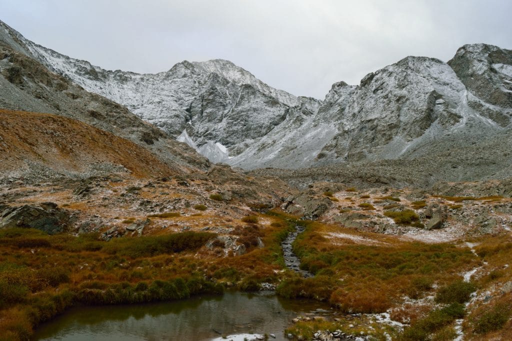
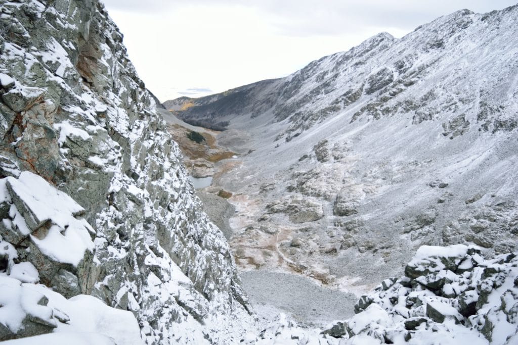
After the wet night, I woke up on Sunday around 3AM to start my hike up Ellingwood Point & Blanca Peak. I had been to this area before, but my previous experience on the South Zapata Lake trail ended right near Zapata Falls. The miles were slow because the elevation gain was consistent all the way up to Zapata Lake. I chugged along and made my way up to the alpine lake by 7AM. The sun was trying to rise in the sky, but the numerous clouds in the area were making it tough. I could see the ridge of Ellingwood, but the summit itself was in and out of clouds. This would turn out to be the theme of the day. I continued over to C2 colouir which was coated in a fresh inch or two of snow. I had considered C3 colouir (the other option to gain the ridge), but after a quick inspection of C2, I knew it was prime and ready to go. I was actually not upset about the snow because I thought it would make for something to grip on over the loose rocks and dirt. I kept my eyes on the sky while I slowly worked up the colouir. Although the forecast was not calling for bad weather, Ellingwood Point & Blanca are known to have unpredictable storms.
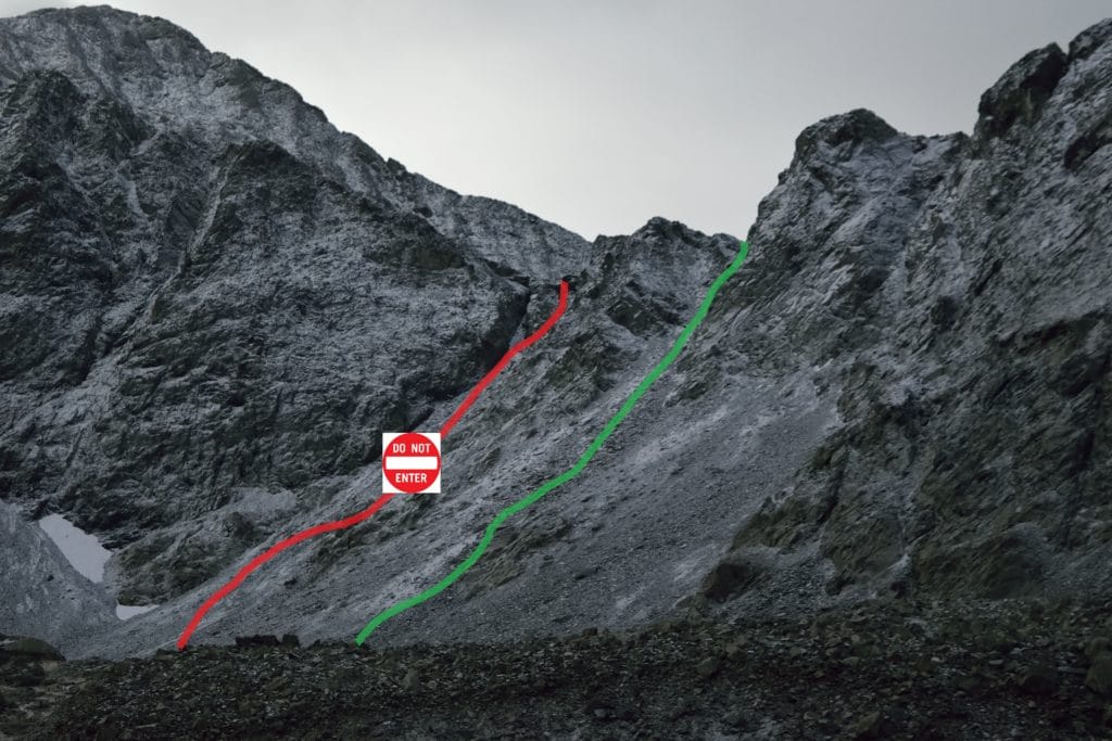
I finally made the north ridge of Ellingwood Point around 8:30AM and got my first views of the full ridge up to the summit. The morning storms were still in the area, but so far, the clouds are looked harmless (by this I mean no thunder or lightning). The trail was impossible to locate because of the fresh snow from the night before. However, I was able to route find fairly easily all the way up to the final ridge of Ellingwood. After another hour or so of hiking, I was close to the summit. All that separated me from Ellingwood Point’s summit was a quarter mile or so of Class 3 hiking. Usually, Class 3 is not a big deal for me, in fact it’s some of my favorite hiking. The snow though made the easy class 3 route turn into, “god I hope my holds are good” hiking. I had made the brilliant decision to leave my mountain axe at the base of Zapata Lake and was swearing at myself with every single move on this ridge. If I had something to anchor me into the ground besides my microspikes, I could have traversed much of the snow covered class 3 scrambles. However, as you have read many times on here, I am an idiot.
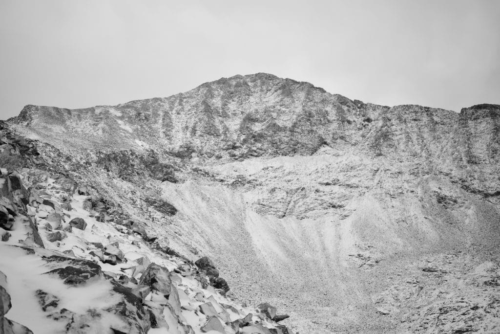
After some careful navigation of the final ridge, I arrived to the summit of Ellingwood Point. It was completely covered in clouds. I honestly, could not see my hand in front of my face. I was so bummed. I had been watching the clouds all day and this seemed to be a normal pattern for this weather system: low clouds rolled in, covered the peaks and moved out quickly. However, I knew that I had a long way to go over to Blanca and back to where I was sitting. The last thing I wanted to do was get caught in a storm. As if mother nature was saying, “I got you Mickey, don’t worry child,” the clouds moved on and I could see the ridge of Blanca Peak. I decided to go for it.
Blanca Peak
Originally, my plan was to attack the ridge of Blanca Peak so that I would not lose as much elevation hiking over to the neighboring summit. However, the snow and clouds complicated things a bit. I could not locate the trail to save my life, so I just did my best route finding over to Blanca, staying as high as possible on the ridge. The rock was slippery and steep but I never felt super uncomfortable in any section (well, maybe I did a LITTLE bit…but Jackie and my family read this.) As I continued to progress across the ridge, I was able to locate the standard trail of Blanca Peak in the distance and a large cairn that marked the split in the ridge and standard trails. This was a game changer because I now knew the general location of where I needed to go.
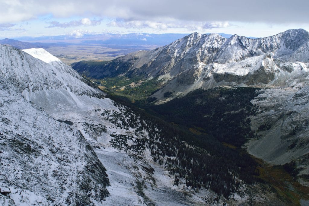
Once I made it to aforementioned cairn, I could see the remaining route up to the summit of Blanca Peak. It was class 3, but I felt much safer on this section vs the top of Ellingwood hours before. Mother nature was fully on my side this day. When I took my first steps onto Blanca Peak, the summit, which had been covered in clouds all morning, cleared up. I was able to see nearby Little Bear Peak, look back to Ellingwood Point, see the San Juans to the west and Crestones to the North. Even Mt Lindsey, which is less than 5 miles away and had been hidden all day, was now visible.
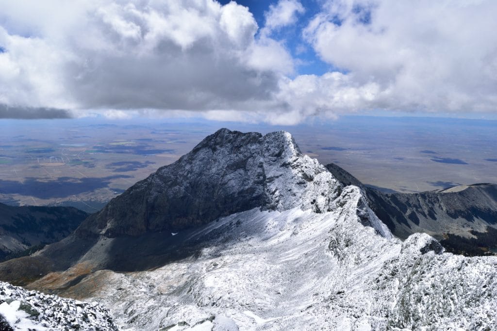
Although the weather was cooperating, my legs were starting to tire and I had a LONG way to go. This helped me decide to go low on the way back to Ellingwood Point. I knew this meant more elevation gain, but I hoped it would also mean a solid trail to follow instead of the slippery rocks I had taken on the way there. Spoiler: It didn’t.
Blanca back to Ellingwood Point
The sun was trying so hard to fight off these damn clouds, but couldn’t seem to do it. The good news was, that for the first time all day, I was on an official trail. This phenomenon lasted all of 5 minutes (ladies maybe you have experienced something similar) until I was back off trail. At this point, I was in the valley underneath the ridge that connected Ellingwood Point & Blanca Peak. Since I have a brain, it was obvious where I needed to go: up. I tried to find some cairns and located a dead hawk instead. It was actually really cool, it was a 2 foot corpse frozen into the snow. It must have been dead for days because most of the meat on its body was torn away from the bones. Those talons though…no wonder why these things are the king predator in the skies.
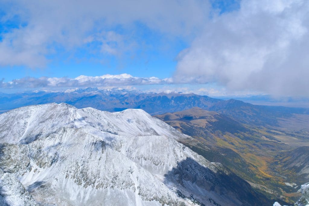
Anyway, I eventually did find some cairns that brought me up to the ridge line. I reached the summit of Ellingwood Point for the second time this day and I asked the same question I generally do when I am tired on mountains: why hasn’t someone installed a zip-line down this bad boy?
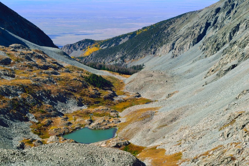
After re-navigating the class 3 ridge of Ellingwood, I was back in the scree (shitty small rocks) field of Ellingwood’s north ridge. A few hours before, this section was no prob bob. Warm up the snow and loosen the ground a bit and this section was suck.com. Loose rock like this is almost NEVER fun to navigate, but my formula of tired legs + wet snow + poor mental attitude = you are gonna have a bad time.
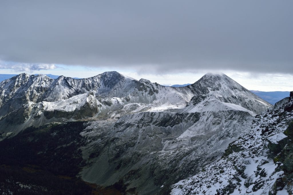
All of the snow in this area had warmed up and with every step, my microspikes turned into: LET’S SEE WHAT WE CAN COLLECT! Seriously, rocks, clumps of snow, they would take whatever the ground would offer. Once again though, mother nature was on my side because when I reached the top of the couloir, it was still in the shade. I am not a big religious guy (huge understatement), but THANK YA JESUS. The shady C2 couloir was full of fresh light snow which my microspikes didn’t want to stick to. I made quick work of the colouir and was back at the lake in about 30 minutes.
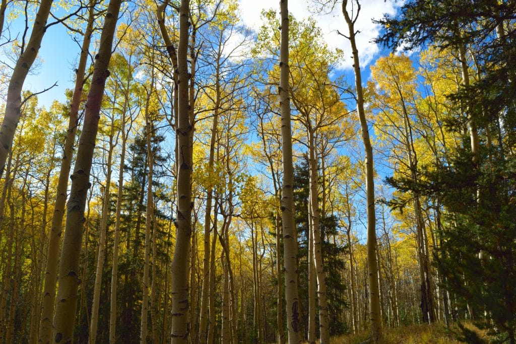
I could bore you with the rest of my walk back down to the car where Jackie and Juno were patiently waiting, but it would mostly be just a couple of paragraphs of swearing. Since I know SOME of you don’t love the profanity, I will just say, it was not fun. I was done. Wanted to be done. Wanted a beer. Wanted 2 pizzas. At one point, about a mile away from the trailhead, there was a river. I literally just walked right through the icy cold 6 inch deep water. My pocket full of “fucks” had all been used up, I just wanted to be done.
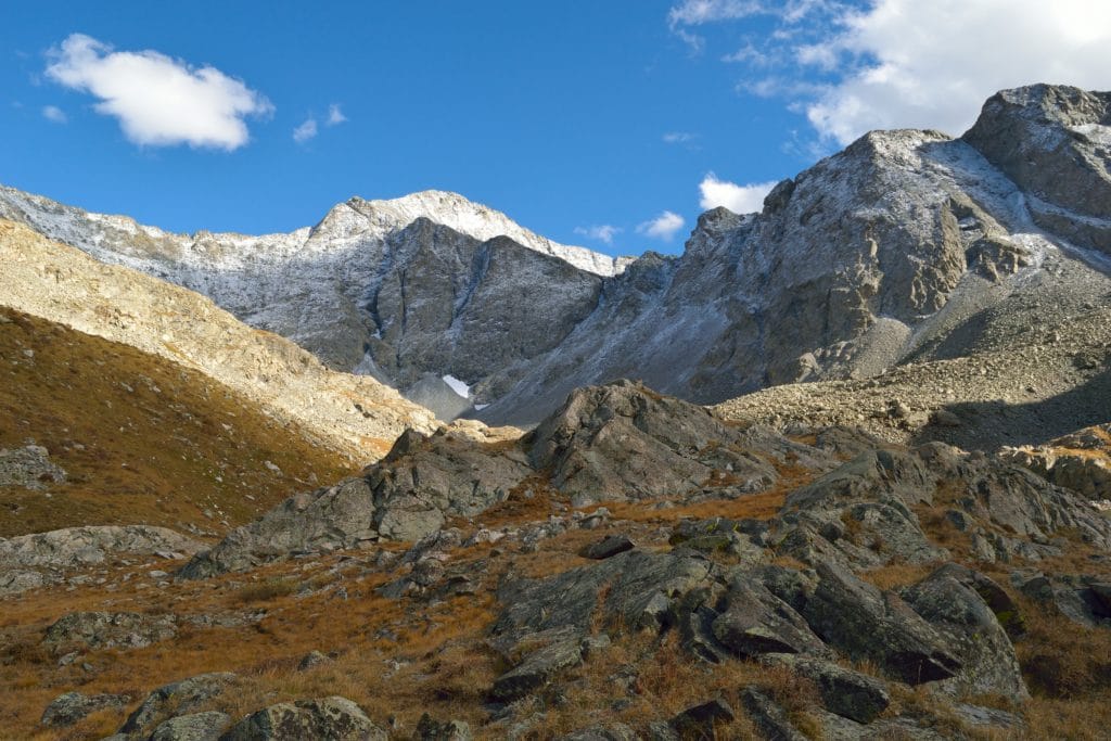
So, what do I think of this hike? Honestly, the Ellingwood Point & Blanca Peak combo is a tough day regardless of your approach. There are a lot of miles, elevation gain and the extra factors I had, didn’t make things smooth. If you wanted to knock these two off, I would suggest the Zapata Lake approach that I hiked. Sure, it’s a lot of elevation gain, but it’s generally less crowded, offers great views and is accessible ALL YEAR ROUND. This trail is shorter, has less people, and can be hiked in the winter…all things that can’t be said about Lake Como. The one negative of this approach would be the inability to make a smooth combination of Little Bear. Unless you went: Ellingwood Point to Blanca to Little Bear (via the traverse) back to Ellingwood Point aka a REALLY long and hard day you would have to make a separate trip to hike Little Bear. At the end of the day, I was happy to knock two more “14ers” down and get back to the car healthy (albeit with wet boots and socks.)

6 thoughts on “Ellingwood Point & Blanca Peak 14er Hike Guide”
I’m flying out of Mobile Alabama Saturday to meet 2 friends in Albuquerque NM where we will get a rent car drive to Wheeler peak as a acclimation hike. After that , the plan then is to go to Blanca take a day, get to Como or Zapata, camp, and try the summit from there with an early start. We will leave most of our gear at the lake camp. We have 7 days in the area so we have a little wiggle room for weather etc… I’m thinking this seems like a fairly standard plan. Your written narrative is very informative and more entertaining than even the video. We are going to play a lot by ear as we go but your review has given me more ammo for up coming decisions. Thanks. If you get this prior to August 10 2019 are there any last min. tips you can provide? Thanks in advance.
Hey Ben,
Sounds like a great plan – you will have plenty of time to knock out both peaks. I would recommend the Zapata side for more seclusion and if you are comfortable with some trail finding but beware of loose rock in that gully that I initial descend to gain the northern ridge of Ellingwood. If you plan on going the Como side, expect more people and a rougher approach up the Lake Como road. Either area may still have some lingering mosquitoes so plan for that as well. Other than that you should be good to go!
Thanks for this report! You definitely have great detailed and thoughtful dog-ability opinions on 14ers. I’m wanting to take this route next week and will likely take my cattle dog mix. She’s plenty agile and is good on and off leash. Do you have any recommendations or advice? Where are the dog cruxes? C2 and the Ellingwood to Blanca traverse? Elsewhere? Any advice would be greatly appreciated. Cheers!
Hey Joel,
Personally, I would not bring my dog on the Ellingwood Blanca traverse unless you descend off the ridge and down much lower. Even doing that might be pushing it. It also depends on which side you are approaching from – if Zapata Lake side then again, I personally wouldn’t recommend it. There are some class 3 moves near the top that might be tough on a dog. If from the Lake Como side, you should be fine as long as you descend off the ridge for the Blanca Ellingwood traverse. But just my two cents, I don’t know anything about you or your dogs hiking level so ultimately, hard to say.
I plan on meeting some friends to hike wheeler peak, nm in a couple weeks. I get to head out early so I was thinking of bagging a peak or 2 before heading there. I’m contemplating Blanca and/or Ellingwood or West Spanish Peak. I’m bringing a lightweight tent, in case I need to camp at South Zapata Lake then bag ellingwood from there then descend back to campground. This will be my first solo. My previous experience is Elbert twice (black cloud and south trail), Sandia Crest, NM and Camelback mountain AZ. Given my previous experience, do you think I could handle it? It would be nice to be with friends but they don’t have the time. Being from Missouri, I don’t want to miss an opportunity to hike it! I am concerned about bears!
Really tough question to answer without knowing anything about you, but on paper, yes, I think you should be okay. Bears shouldn’t be a big problem but always bring a bear cannister /bag and leave anything with a scent out of your tent at night and you shouldn’t run into any issues. Best of luck