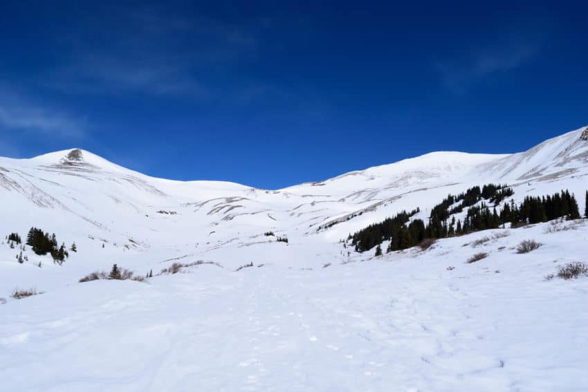
Mt. Sherman Winter 14er Hike Trail Guide
Mt Sherman Winter route is a popular 14er hiked located just outside of Fairplay, Colorado. In the summer, you will find loads of people covering the slopes but in the winter Mt. Sherman is usually a ghost town. Unlike summer conditions, the winter approach can be long and arduous due to the county road not being maintained. Mt. Sherman is a good choice for those looking to get into winter hiking due to relatively forgiving terrain, low avalanche risk and easy slopes to descend on a pair of skis or snowboard. Snow coverage on this mountain can be iffy from about 13,400 feet and up, but generally holds decent snow until about May.
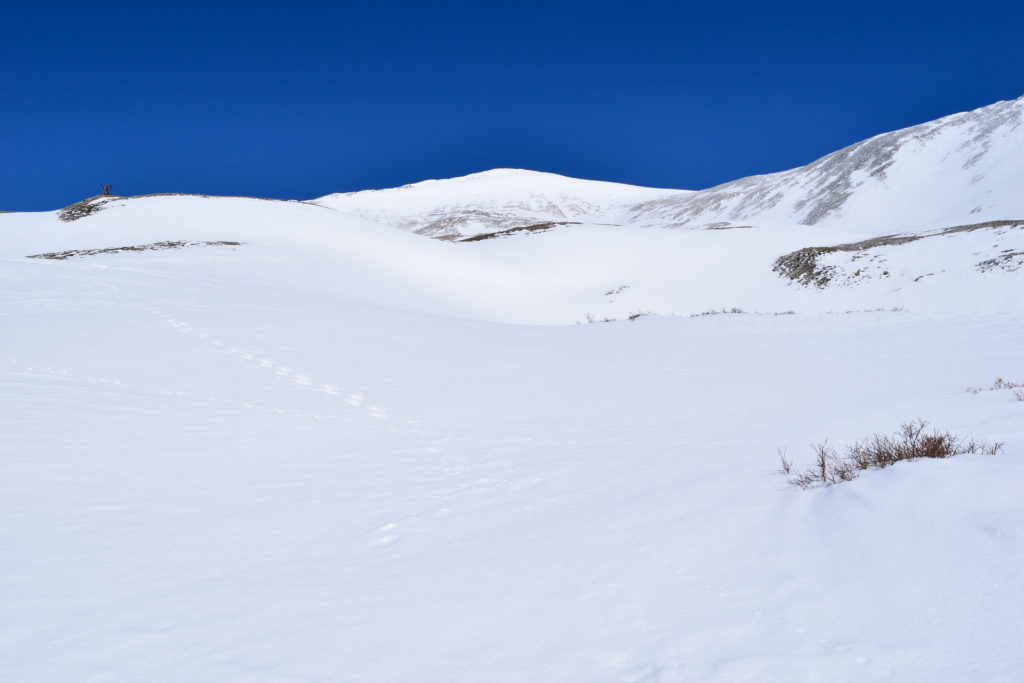
Mt Sherman Winter Quick Facts
Video Trail Guide: Mt Sherman Winter Hike
Mt. Sherman Rating: ★★ (⅖ Stars)
Distance: Various, depending on road closure – for me: 16.82 miles RT
Elevation Start: Various, depending on snow level – for me: 10,200 ft
Highest Point: 14,035 ft
Total Elevation Gain: Various – for me: 3,800 ft
Estimated Time to Complete: 8-10 Hours RT
Difficulty: Moderate to Difficult What does this mean?
Class: Class 1
Snow Grade: Easy snow steepness and almost zero exposure
Season: December – May (depending on winter)
Directions to Mt Sherman in the Winter
Trailhead: Fourmile Creek
Getting Here: To get to Fourmile Creek, head to Fairplay and about a mile south of the “downtown” area, turn onto County Road 18 (Fourmile Creek Rd). Follow this road straight for about 5-6 miles until you reach an area where the road is no longer maintained during the winter months. Most 2×2 cars can get to this point but don’t drive into the snow because chances are you will get stuck. You can enter Fourmile Creek into your GPS, just know you will most likely not get there.
Parking: Parking in the winter can be kind of a crap shoot. Most likely, you will only find “road” parking in single file. Be cautious as you approach the road closure as turning around may be impossible due to snow conditions and a narrow road.
Fees: None
Summary
Camping: In the winter, camping options may be very limited and could only be sleeping in your car, depending on snow level. If the road is open, there are a variety of car camping options.
Dogs: Mt. Sherman is a dog friendly hike in the winter if your dog is good off leash and used to walking up steeper snow.
Make it a Loop: Mt Sherman is an out and back hike. If you wanted to get more peaks in, you could snag neighboring Mt Sheridan or centennial Horseshoe Mountain.
Trail X Factors: Without a doubt, the biggest x factor to hiking Mt. Sherman in the winter is where the road is closed. For me, it was closed about 6.5 miles from the summer TH which added an additional 13 miles to my day. Woof. In terms of terrain, Mt. Sherman is a nice winter hike since a lot of the terrain in the area is not prone to avalanches. Even so, be sure to check out the current avalanche forecast here.
Mick’s Tip: Before heading to Mt. Sherman, be sure to check the weather and avalanche forecast. In regards to weather, you will want to keep an eye on cloud coverage and temperature. If the sun is blasting with warm temperatures, it will have an affect on what you pack for the day (sunscreen, snowshoes, layers etc.)
In terms of avalanche forecast, I generally check Colorado Avalanche Information Center to see what the forecast is for the day I am hiking. Even if you do not plan on snowboarding/skiing down Mt. Sherman – avalanches can be triggered by hikers as well. Always know before you go and if it doesn’t look good – reschedule your hike.
Best Views: Mt Sherman Winter hike views are similar to what you would have in the summer. However, I think snow makes everything more beautiful which adds to the beauty of this hike. The best views are on the summit looking north and south in my opinion. Looking east you can easily see Fairplay and the plains below, while western views offer you a birds eye view of Leadville and the Collegiate Peaks behind it.
Mt Sherman Winter Trail Route
Gear Needed
- 14er Day Hike Packing List
- La Sportiva Trango Hiking Boots (Men’s)
- La Sportiva Trango Hiking Booths (Women’s)
- La Sportiva Mountaineering Boots
- Backpack
- Food & Water
- Microspikes
- Gaiters
- Mountain Axe
- Optional: Ski or Snowboard
- Optional: Probe, Beacon, Shovel
- Optional: Crampons
- Optional: Crampon Bag
- Optional: Garmin inReach
- Optional: Hiking Poles
- Optional: Headlamp
- Optional: Garmin Fenix Watch
- Optional: Avalanche Gear: Beacon, Probe, Shovel
- Optional: Snowshoes
- *Links included in this description might be affiliate links. If you purchase a product or service with the links that I provide I may receive a small commission. There is no additional charge to you.
My Trip: Mt Sherman Winter: March 2019
Winter of 2019 was one of the deepest in Colorado’s recent history. Avalanches ripped through the state causing chaos in the backcountry and put any thoughts of winter hiking/boarding on hold for months. When the snow machine finally slowed down and conditions in the backcountry solidified a bit, my focus shifted on an easier hike. After some research, I landed on Mt. Sherman, a peak I had already submitted in the summer.
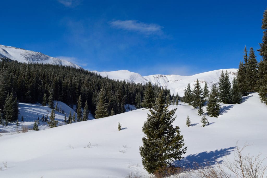
Mt Sherman Winter hike planning started on Friday and I decided to head to the trailhead on a Saturday morning for a hike up its south slopes. The plan was to tackle the winter route which was a bit more direct than the summer and provided an opportunity for me to snowboard down the mountain. I made the drive out to Fairplay under a starry sky on a crisp spring morning. I was about 7 miles from the summer trailhead and the road conditions began to worsen. The dirt road turned to frozen mud with deep ruts and patches of snow all over the place. After about a half mile of additional driving, I was forced to stop some 6.5 miles from the trailhead. Woof. I was planning on a hike of 10-12 miles, but based on my new starting point, the day was looking much longer.
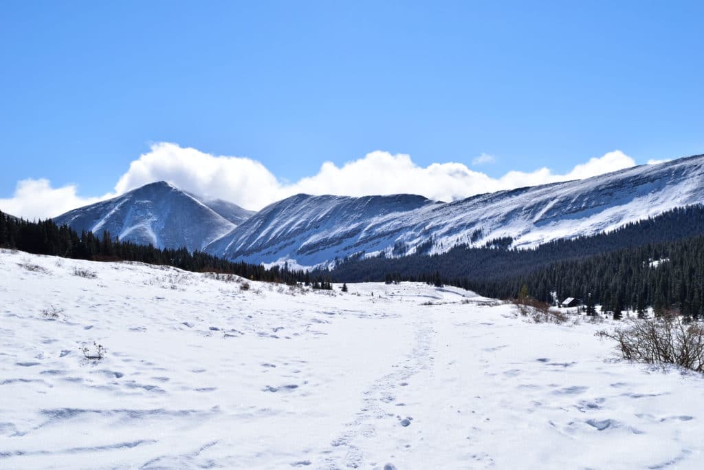
Begrudgingly, I strapped on my snowboard, put on my backpack and hit the snow covered county road. The sun was starting to rise as I worked my way up towards the trailhead, my snowshoes crunched against the firm snow with each step. In my head, I kept hoping for a snowmobiler (or helicopter) to swing by and offer my a ride. This dream scenario never happened. After hiking for a few hours, the sun was now out and the temperatures started rising. I found some shelter from the sun under a massive pine tree and took a break to film, drink some water and eat a glorious breakfast of a protein bar.
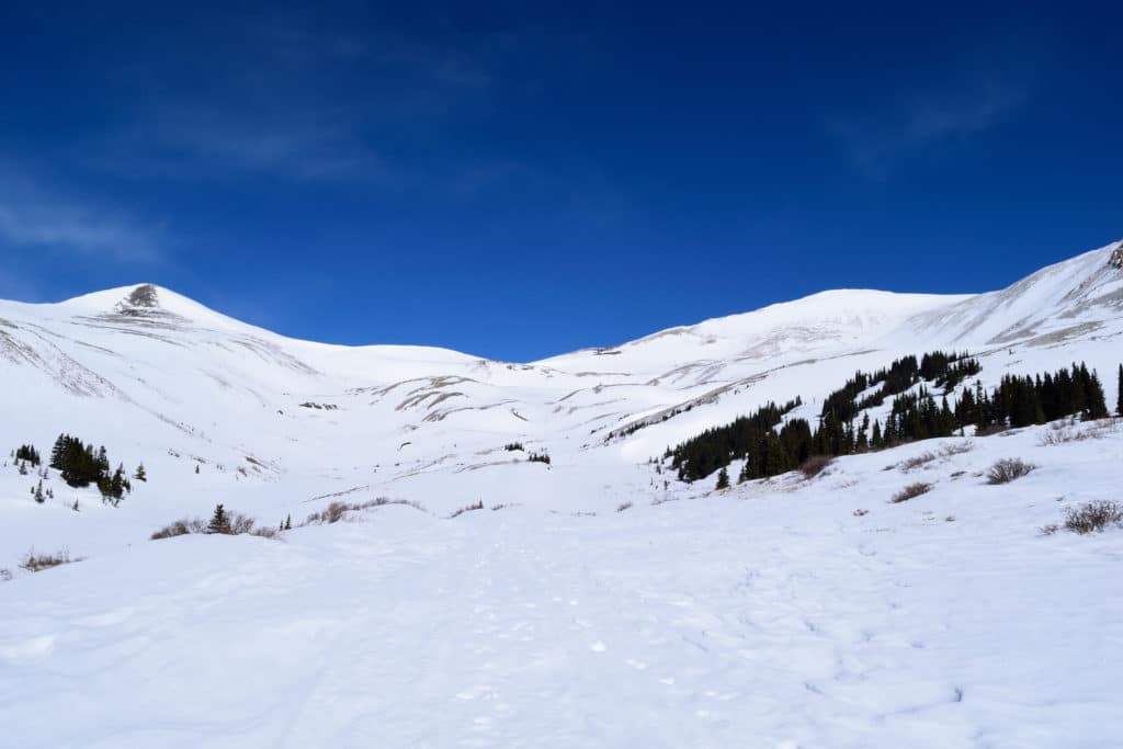
I eventually reached the upper (summer) trailhead after about 6.5 miles of hiking over the course of two hours. I broke off from the road and headed up a small hill towards the summit of Mt. Sherman. I tested the snow for a bit and decided to ditch my snowshoes and a layer here, aiming to pick it up on the way down from the mountain. The snow was well packed with about 2-3 inches of fresh snow on top. It was the textbook definition of dust on crust, but I was hopeful it would offer nice turns on the way down. I slowly broke trail up the western slopes, each step more variable than the last. In some areas my crampons stuck to the snow without a problem and in other areas I would put my weight down on the white crusty snow and seconds later would sink into the snow. It was extremely demoralizing and mentally frustrating.
I decided to call Jackie to check-in. I informed her where I was at on the mountain, that I wanted to turn the F around and that I was probably going to be home much later than I had anticipated. In short, she told me to sack up and keep going. Good talk! After our conversation, I realized that I was close to the western saddle of Mt. Sherman which connected to White Ridge. The weather had been changing over the past hour and the sky was now full of clouds. Light snow began falling and I was in a complete whiteout. I tried lifting up my goggles to see if visibility was any better. Spoiler, it was not.
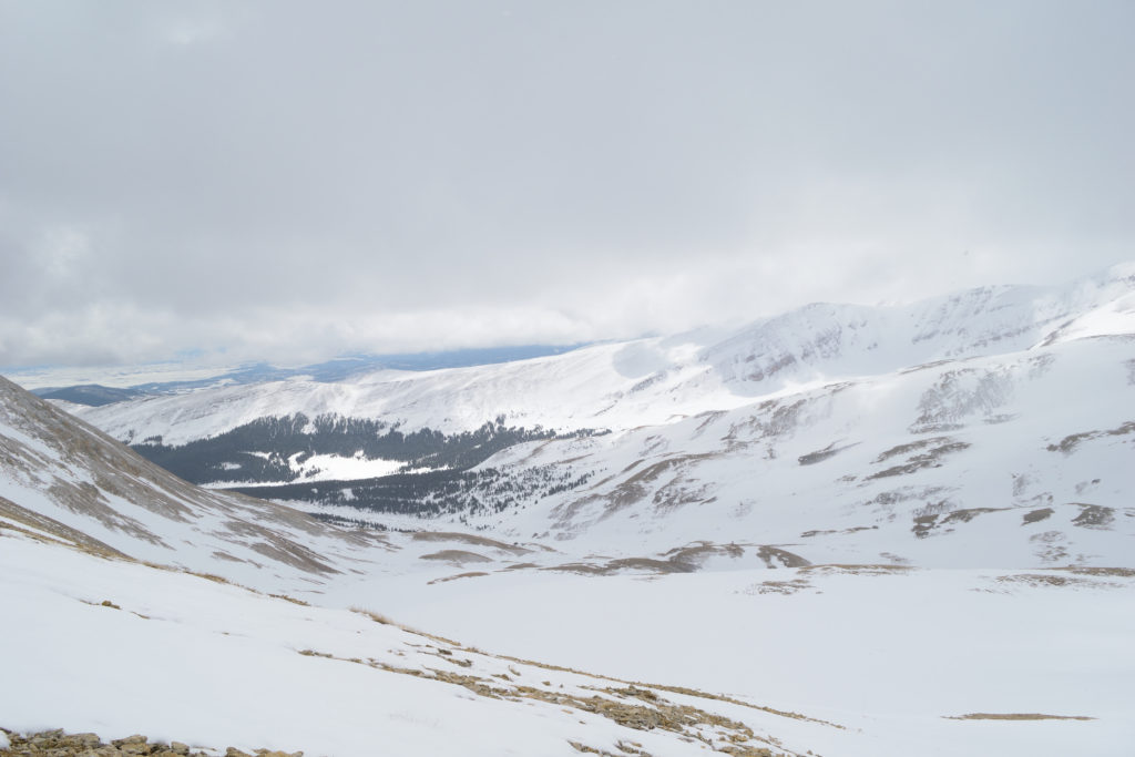
I could make out a cornice in front of me, but I had no idea if it was 500 yards or 50 feet. It turned out to be something in between because as I climbed over it, I was now on the ridge of Mt. Sherman, the summit just yards away. On the summit, the winds were slightly worse than the hike up, but nothing too terrible. I took some time to drink water, refuel and switch into my snowboarding gear. The entire day, I had the whole area to myself, not another person in sight. It was so peaceful and beautiful seeing the surrounding area at 14,000+ feet, everything covered in snow. I struggled to fit all of my gear in my tiny backpack (good god, I need a splitboard) but eventually was ready to head back down from Mt. Sherman’s summit.
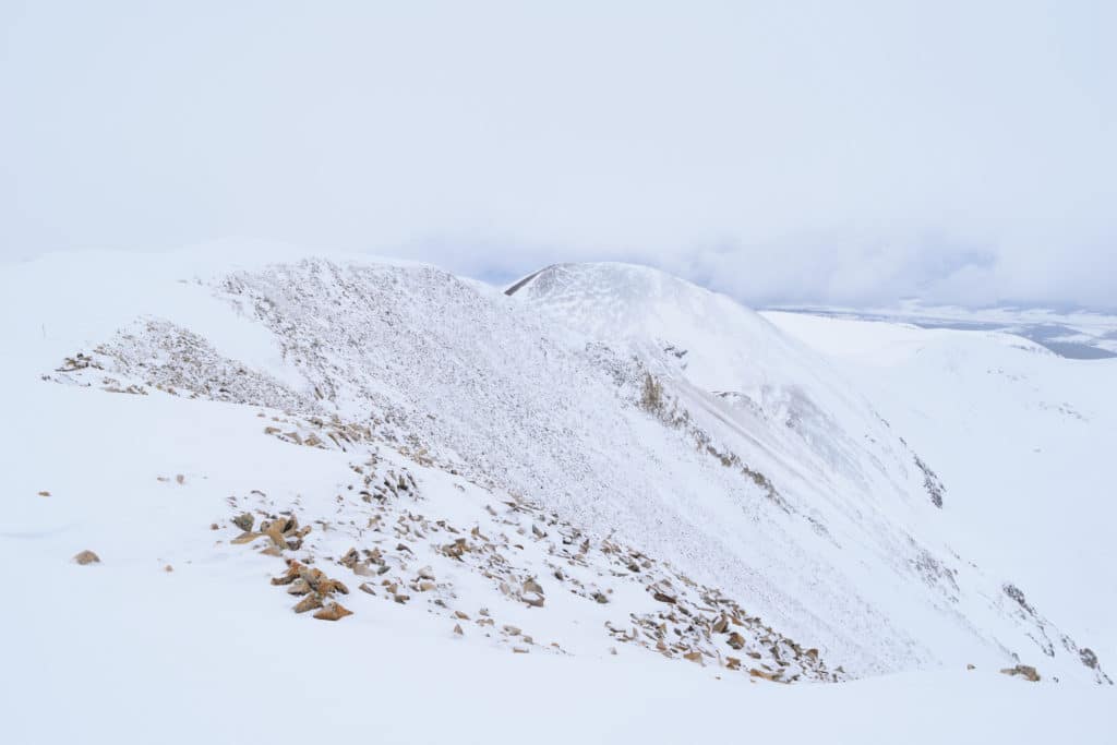
Visibility from the hike up had improved greatly and I was now able to see almost perfectly. I ratched into my board and went down the 5 foot cornice to the snowy slopes below. My first few turns were so ugly as my legs were exhausted from the hike up. The snow had a nice surface, but little other redeeming qualities. The terrain was crusty and didn’t allow for great snowboarding but not very steep (think slightly above a blue square at a resort). Even so, I was thrilled to be flying past areas that I struggled to hike up just a little while before. Coverage on the mountain was great and I only had to be careful for exposed rocks in one tiny section. I stopped about ½ way down to film and couldn’t help a massive smile showing up on my face. All of the painful hours that existed earlier in the day were completely wiped out by the 3-5 minutes of snowboarding down. Funny how life works!
I was able to snowboard/skate about 2-3 miles past the upper trailhead which was very nice. Once I reached the point that was too flat to skate, I strapped the snowboard back on my back, changed my boots and put the showshoes back on to hike the remaining 3 miles back to my car.
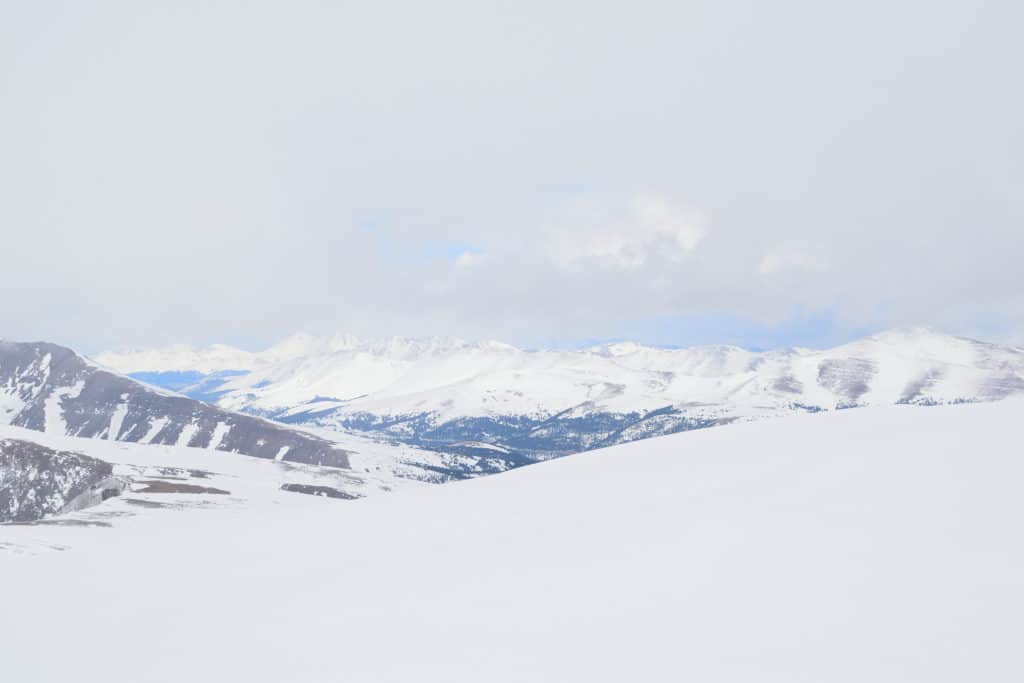
As I got back to the car the clouds were moving in again and it was starting to snow lightly. Overall, I really enjoyed the concept of the day, but the execution (long miles) was really tough when I was expecting a much easier day. I spent about 10 hours hiking/boarding on Mt. Sherman over the course of 16.8 miles. As I write this though, the experience really was not that bad and I can easily see myself repeating this on other mountains in the near future.
